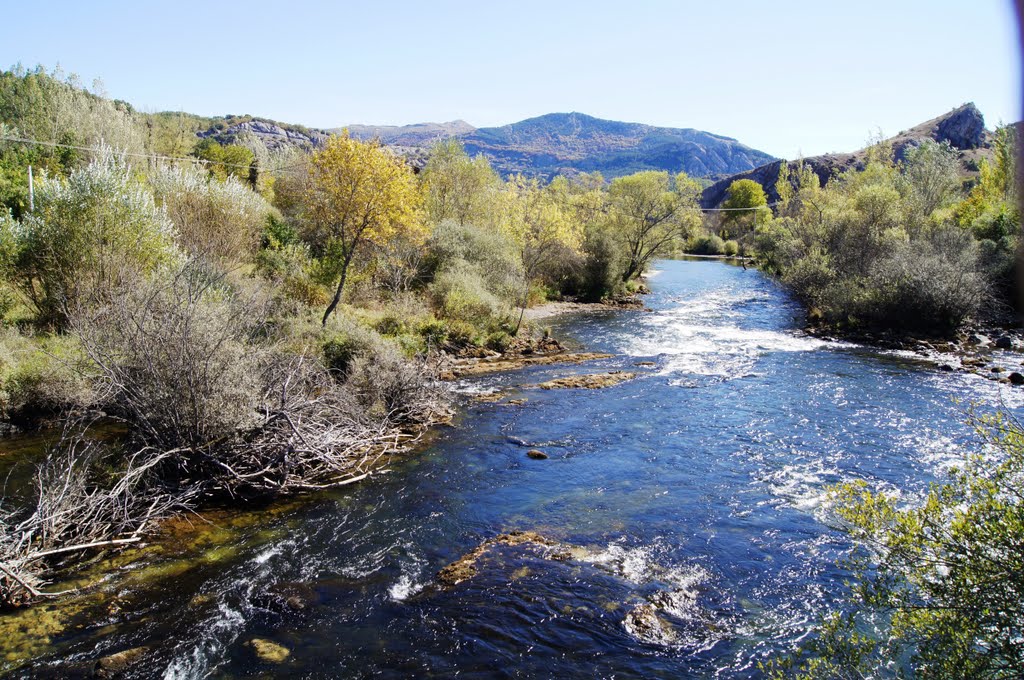
Ruta circular de las minas en Sabero. Río Esla (aguas abajo).
A photo taken by Hikergoer at the location Crémenes with coordinates [42.851083056, -5.129716667]. Additionally, you might be interested in finding other photos captured by different users near Crémenes. Both sets of images could provide a richer perspective of the area and showcase various moments in time.

Near Photos
Near Photos of Crémenes at [42.851083056, -5.129716667]
Hikergoer's Other Photos
Other photos taken by Hikergoer


