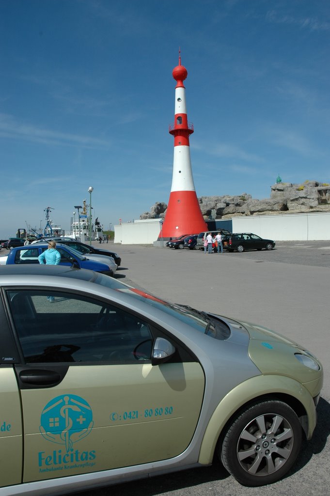
Bremerhaven - Semaphor (optischer Telegraph) vom Leuchtturm "Hohe Weg" (zeigte den in Richtung Nordsee fahrenden Schiffe von 1893 bis 1973 Windstärke und Windrichtung auf Borkum und Helgoland an)
A photo taken by Robert-68 at the location Mitte-Süd with coordinates [53.544984, 8.56833]. Additionally, you might be interested in finding other photos captured by different users near Mitte-Süd. Both sets of images could provide a richer perspective of the area and showcase various moments in time.

Near Photos
Near Photos of Mitte-Süd at [53.544984, 8.56833]
Robert-68's Other Photos
Other photos taken by Robert-68


