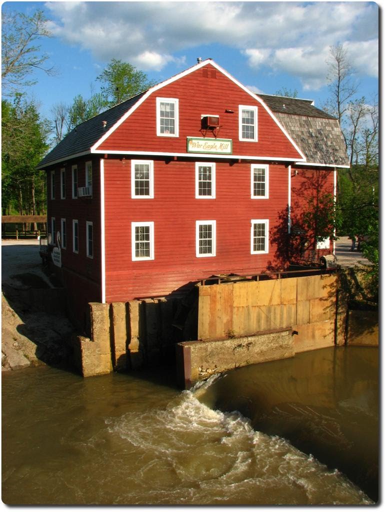
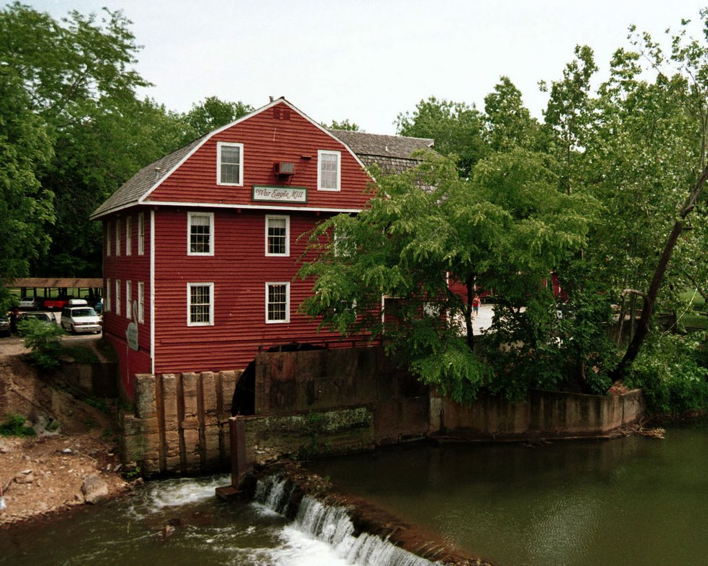
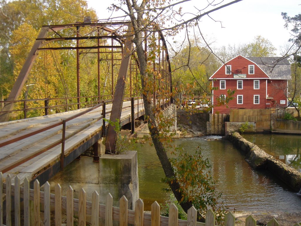
War Eagle Mill
A photo taken by David Brown Photography at the location Benton County with coordinates [36.267516, -93.943405]. Additionally, you might be interested in finding other photos captured by different users near Benton County. Both sets of images could provide a richer perspective of the area and showcase various moments in time.

Near Photos
Near Photos of Benton County at [36.267516, -93.943405]
David Brown Photography's Other Photos
Other photos taken by David Brown Photography


