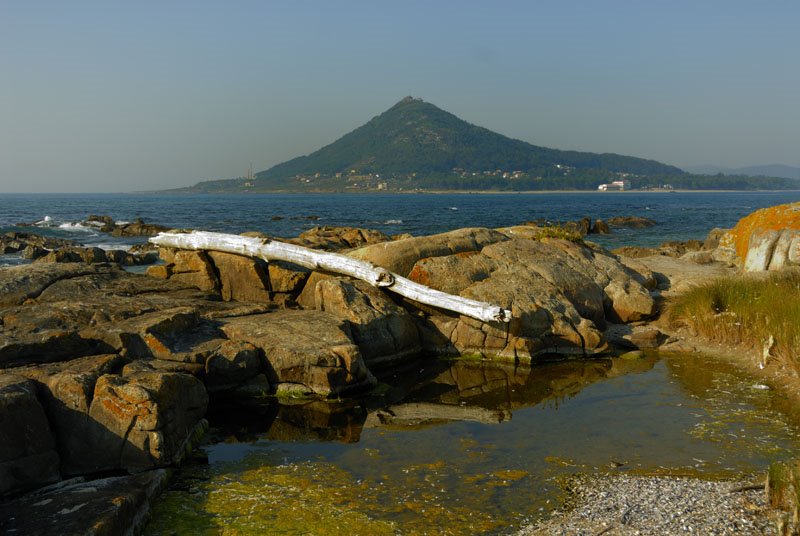
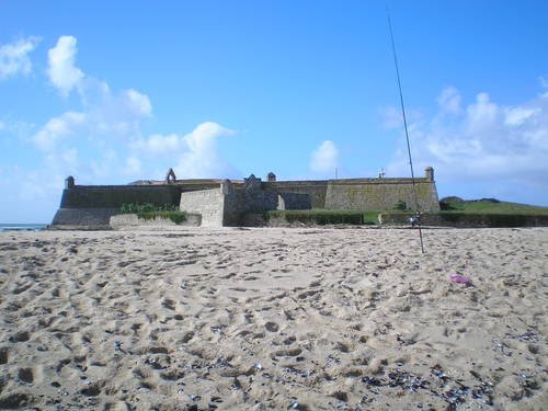
Caminha: Isla del fuerte militar "Forte da Insua" en la desembocadura del río Minho / Miño al fondo la montaña de Santa Tegra / Tecla en suelo español
A photo taken by www.iberimage.com at the location Moledo with coordinates [41.859666667, -8.875333333]. Additionally, you might be interested in finding other photos captured by different users near Moledo. Both sets of images could provide a richer perspective of the area and showcase various moments in time.

Near Photos
Near Photos of Moledo at [41.859666667, -8.875333333]
www.iberimage.com's Other Photos
Other photos taken by www.iberimage.com


