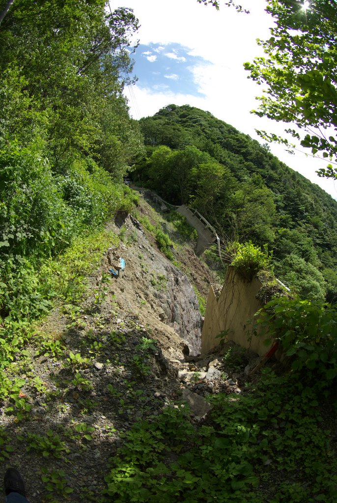
御荷鉾林道 八倉峠付近 道路崩落 2009.7.13撮影
A photo taken by wata_masa at the location 下仁田町 with coordinates [36.139608, 138.776271]. Additionally, you might be interested in finding other photos captured by different users near 下仁田町. Both sets of images could provide a richer perspective of the area and showcase various moments in time.

Near Photos
Near Photos of 下仁田町 at [36.139608, 138.776271]
wata_masa's Other Photos
Other photos taken by wata_masa


