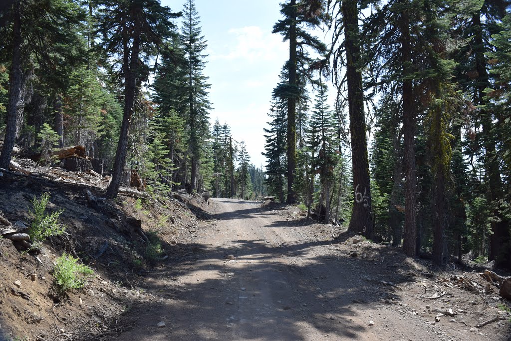
Soda Springs Road #6001 between Red Star and Robinson Flat, and the Western States Trail for equestrians for the 100-mile Tevis Cup; Tahoe National Forest
A photo taken by Robert H. Sydnor at the location Placer County with coordinates [39.187955, -120.434042]. Additionally, you might be interested in finding other photos captured by different users near Placer County. Both sets of images could provide a richer perspective of the area and showcase various moments in time.

Near Photos
Near Photos of Placer County at [39.187955, -120.434042]
Robert H. Sydnor's Other Photos
Other photos taken by Robert H. Sydnor


