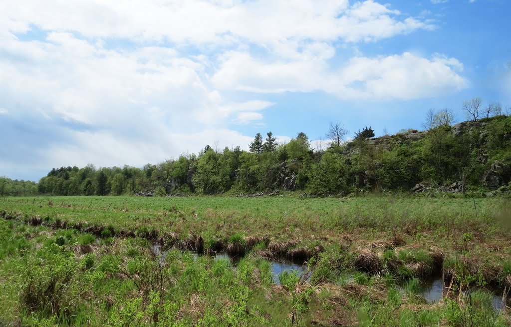
A long ancient fault line in the Canadian shield rock made this hill and marsh. This made it easy to build the Canadian Northern Railway (CNoR) in 1912 by simply dredging the mud for the railway base. No tree cutting, rock blasting and so on. The fault line goes from near Perth Road Village to Indian Lake near Chaffey's Locks in a NE direction. Any savings here was quickly lost just to the north of here.
A photo taken by Steve Manders at the location Ontario with coordinates [44.50438, -76.434824]. Additionally, you might be interested in finding other photos captured by different users near Ontario. Both sets of images could provide a richer perspective of the area and showcase various moments in time.

Near Photos
Near Photos of Ontario at [44.50438, -76.434824]
We don't have any pictures...
Steve Manders's Other Photos
Other photos taken by Steve Manders


