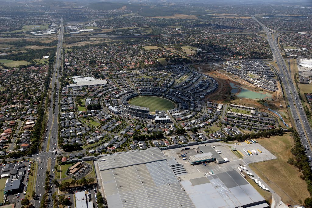
VFL Park (2014). With Wellington Rd on the left and the Monash Fwy on the right, the car parks around the former football ground are now covered in houses.
A photo taken by Muzza from McCrae at the location Mulgrave with coordinates [-37.923638889, 145.185002778]. Additionally, you might be interested in finding other photos captured by different users near Mulgrave. Both sets of images could provide a richer perspective of the area and showcase various moments in time.

Near Photos
Near Photos of Mulgrave at [-37.923638889, 145.185002778]
Muzza from McCrae's Other Photos
Other photos taken by Muzza from McCrae


