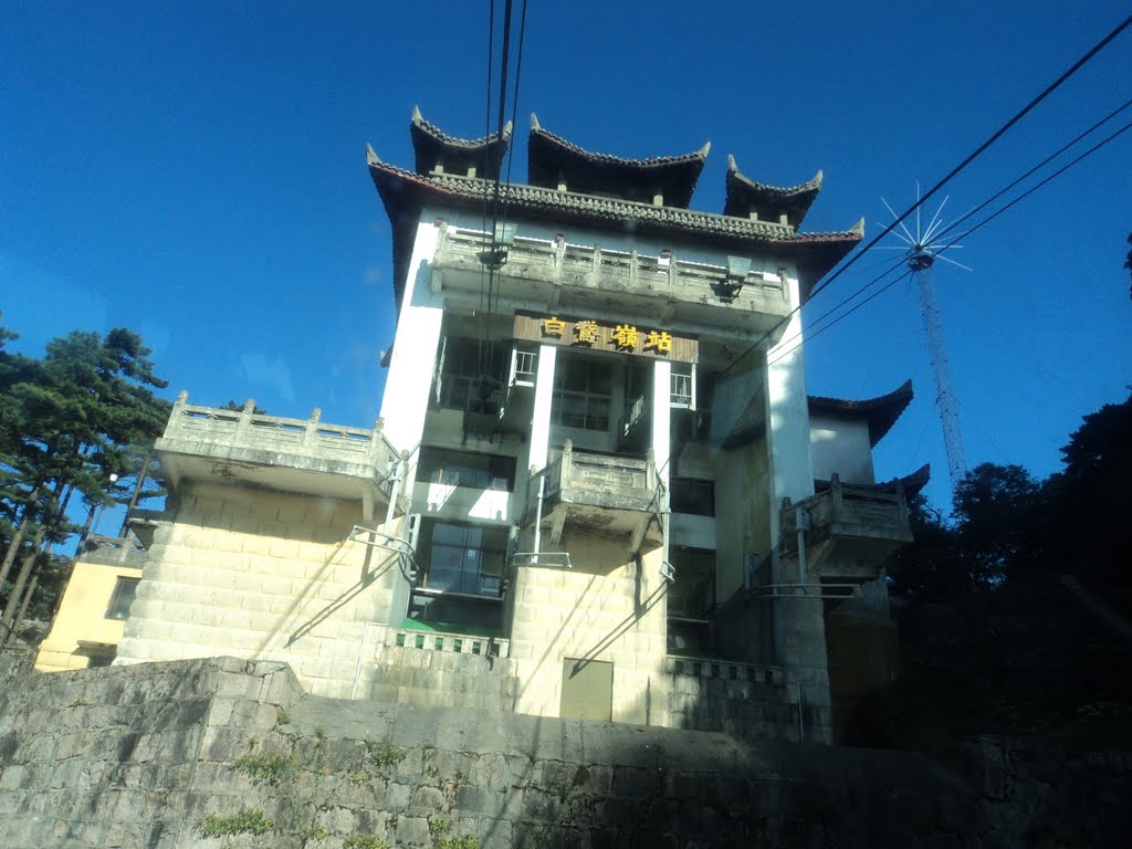
光明顶观日出,右为天都峰(GPS定位)
A photo taken by zhangzhugang at the location 黄山区 (Huangshan) with coordinates [30.133991242, 118.164596558]. Additionally, you might be interested in finding other photos captured by different users near 黄山区 (Huangshan). Both sets of images could provide a richer perspective of the area and showcase various moments in time.

Near Photos
Near Photos of 黄山区 (Huangshan) at [30.133991242, 118.164596558]
zhangzhugang's Other Photos
Other photos taken by zhangzhugang


