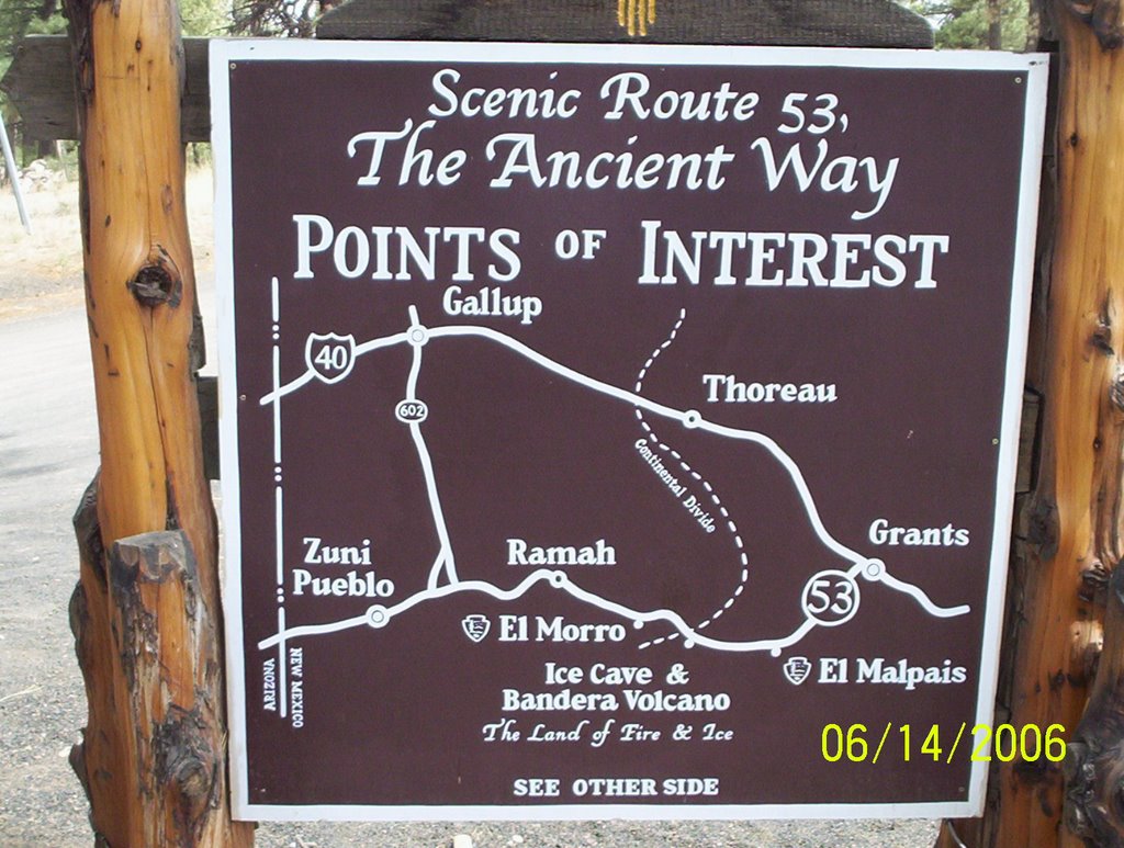
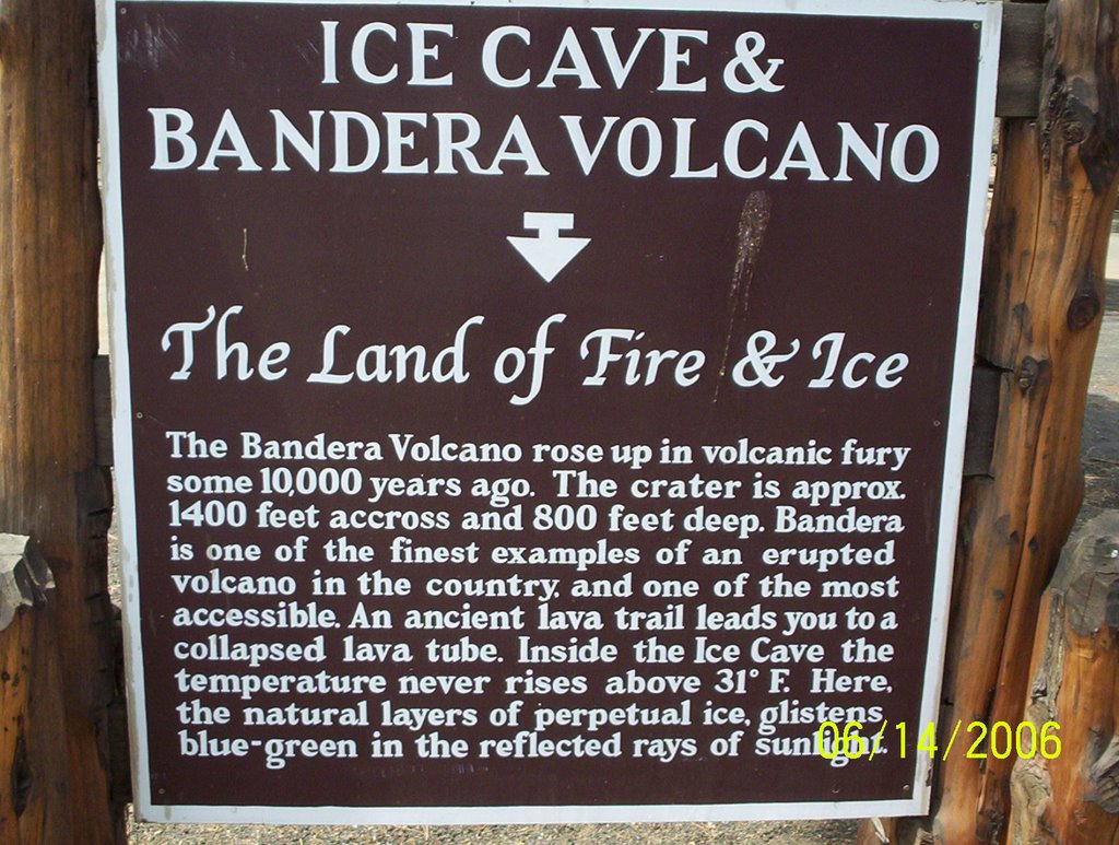
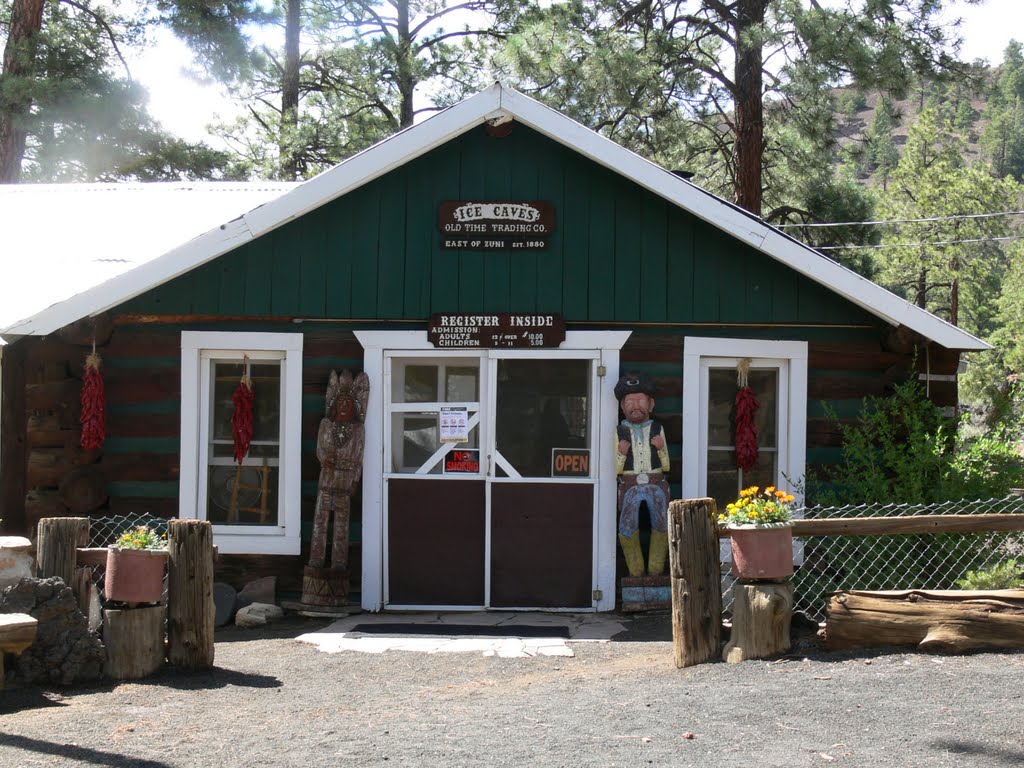
Bandera volcano & Ice cave map
A photo taken by Ken Trout at the location Cibola County with coordinates [34.993345, -108.080583]. Additionally, you might be interested in finding other photos captured by different users near Cibola County. Both sets of images could provide a richer perspective of the area and showcase various moments in time.

Near Photos
Near Photos of Cibola County at [34.993345, -108.080583]
Ken Trout's Other Photos
Other photos taken by Ken Trout


