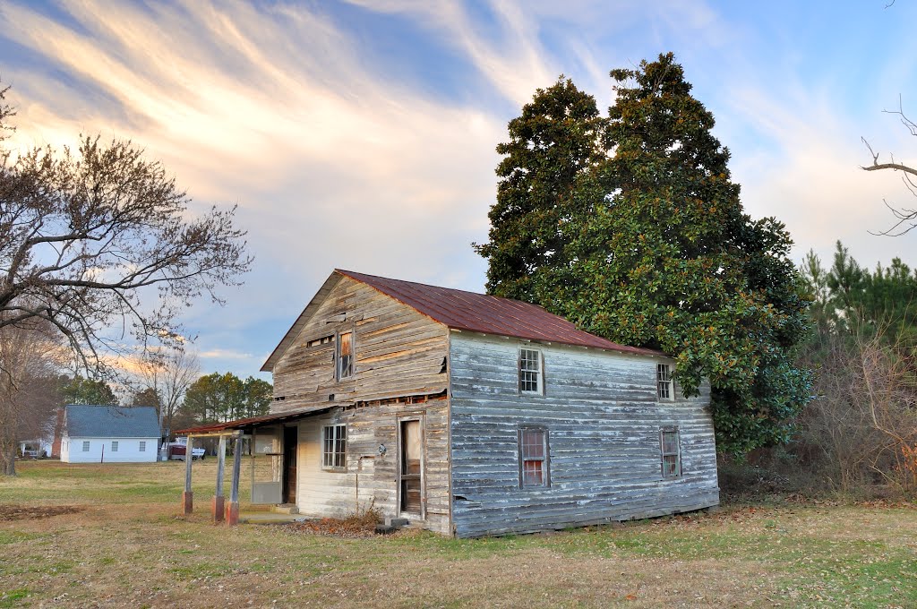
VIRGINIA: GLOUCESTER: ROBINS NECK: structure at the intersection of Free School Road (S.R. 629) and Robins Neck Road (S.R. 614) 3
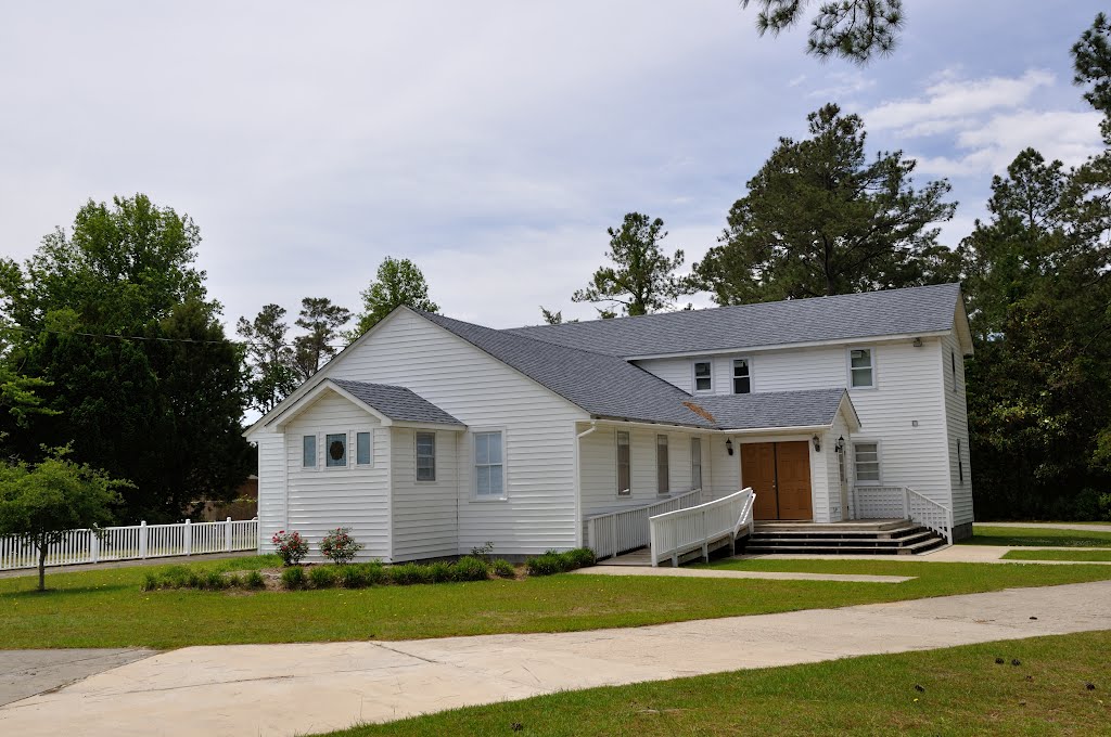
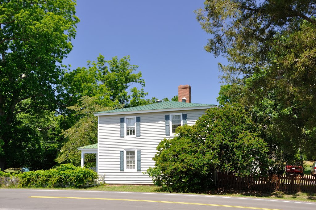
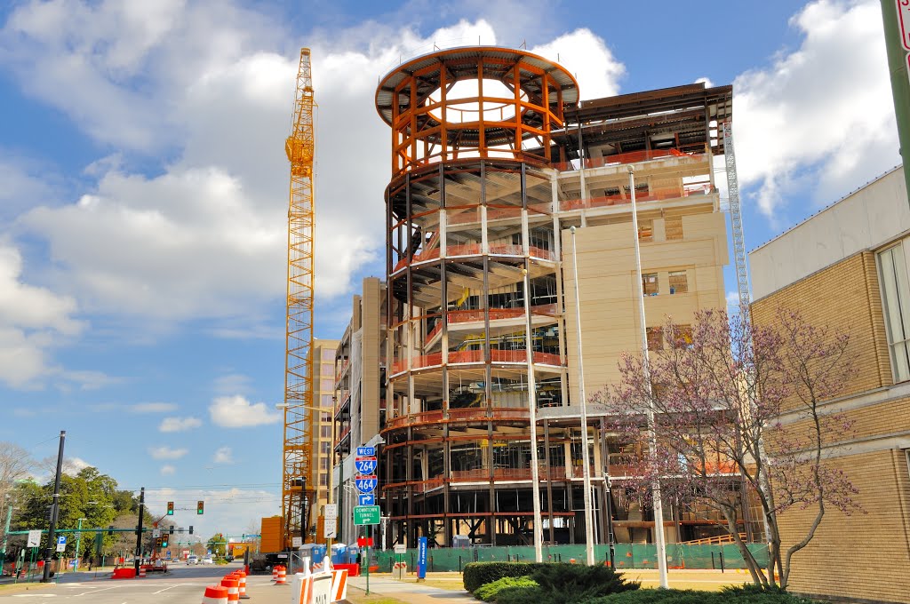
A photo taken by Douglas W. Reynolds, Jr. at the location Gloucester County with coordinates [37.343922, -76.44489]. Additionally, you might be interested in finding other photos captured by different users near Gloucester County. Both sets of images could provide a richer perspective of the area and showcase various moments in time.

Near Photos
Near Photos of Gloucester County at [37.343922, -76.44489]
Douglas W. Reynolds, Jr.'s Other Photos
Other photos taken by Douglas W. Reynolds, Jr.


