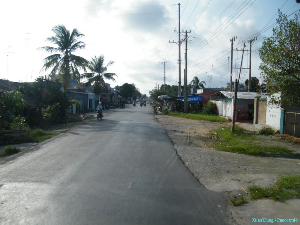
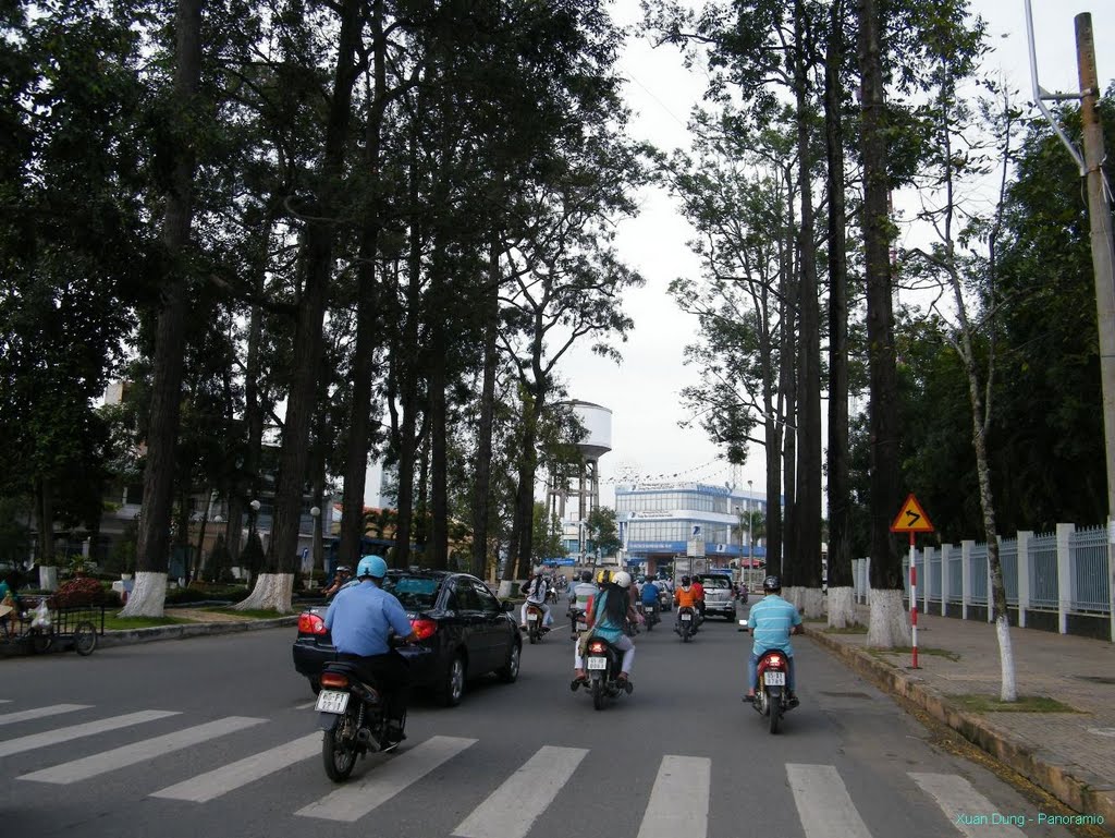
Quốc lộ 80 - National highway - h. Hòn Đất, Kiên Giang - 10/2010
A photo taken by Vietnam Atlas at the location Hòn Đất with coordinates [10.068925858, 105.058387756]. Additionally, you might be interested in finding other photos captured by different users near Hòn Đất. Both sets of images could provide a richer perspective of the area and showcase various moments in time.

Near Photos
Near Photos of Hòn Đất at [10.068925858, 105.058387756]
We don't have any pictures...
Vietnam Atlas's Other Photos
Other photos taken by Vietnam Atlas


