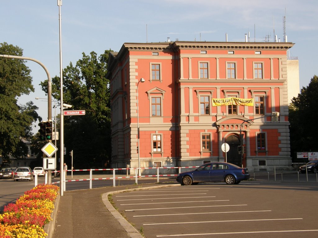
Červený dům v Hradecké ulici (Red house in the street of Hradec), Opava, Czech Republic
A photo taken by MAPP HUDRANS at the location Opava-Předměstí with coordinates [49.935362, 17.901428]. Additionally, you might be interested in finding other photos captured by different users near Opava-Předměstí. Both sets of images could provide a richer perspective of the area and showcase various moments in time.

Near Photos
Near Photos of Opava-Předměstí at [49.935362, 17.901428]
MAPP HUDRANS's Other Photos
Other photos taken by MAPP HUDRANS


