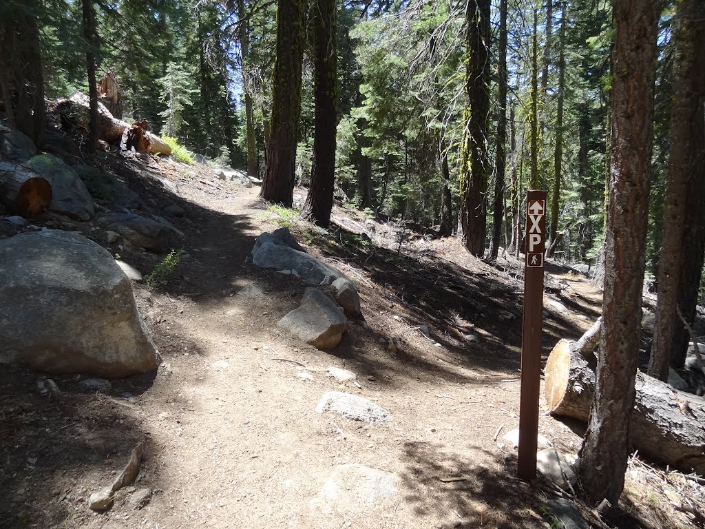
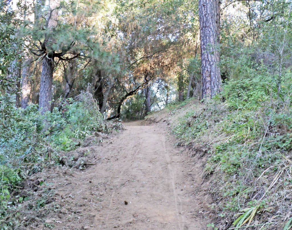
Junction with the Pony Express Trail (marked XP at right) with the Trail to Lover's Leap (at left); Eldorado National Forest
A photo taken by Robert H. Sydnor at the location El Dorado County with coordinates [38.799916, -120.119238]. Additionally, you might be interested in finding other photos captured by different users near El Dorado County. Both sets of images could provide a richer perspective of the area and showcase various moments in time.

Near Photos
Near Photos of El Dorado County at [38.799916, -120.119238]
Robert H. Sydnor's Other Photos
Other photos taken by Robert H. Sydnor


