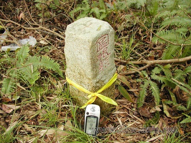
賴仲坑山 (土地調查局圖根點, N25 00.742 E121 37.635, H147m)
A photo taken by hkw0704 at the location 賴仲里 with coordinates [25.012361, 121.62725]. Additionally, you might be interested in finding other photos captured by different users near 賴仲里. Both sets of images could provide a richer perspective of the area and showcase various moments in time.

Near Photos
Near Photos of 賴仲里 at [25.012361, 121.62725]
We don't have any pictures...
hkw0704's Other Photos
Other photos taken by hkw0704


