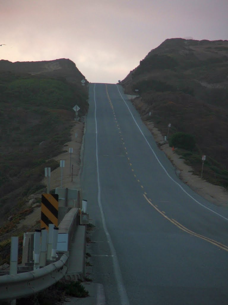
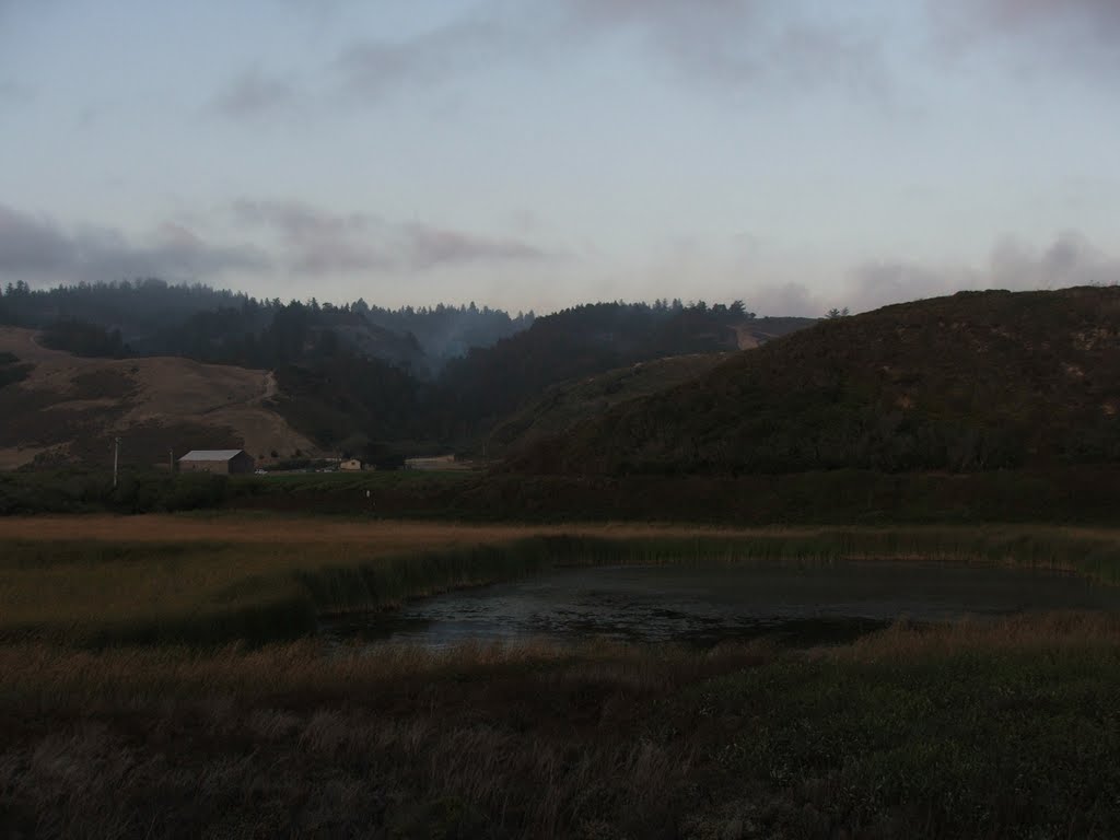
Lockheed Fire Smoke, From Route 1, PCH, 8-24-2009
A photo taken by Kyle Stephen Smith at the location Santa Cruz County with coordinates [37.04065, -122.229043]. Additionally, you might be interested in finding other photos captured by different users near Santa Cruz County. Both sets of images could provide a richer perspective of the area and showcase various moments in time.

Near Photos
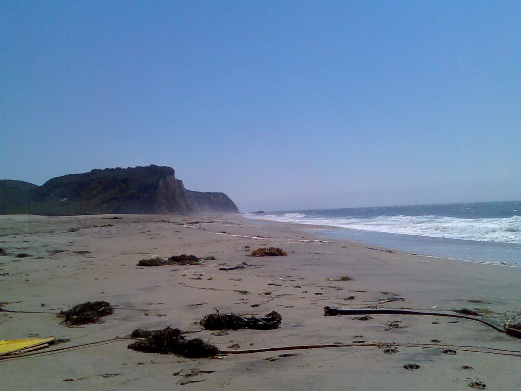
Near Photos of Santa Cruz County at [37.04065, -122.229043]
Kyle Stephen Smith's Other Photos
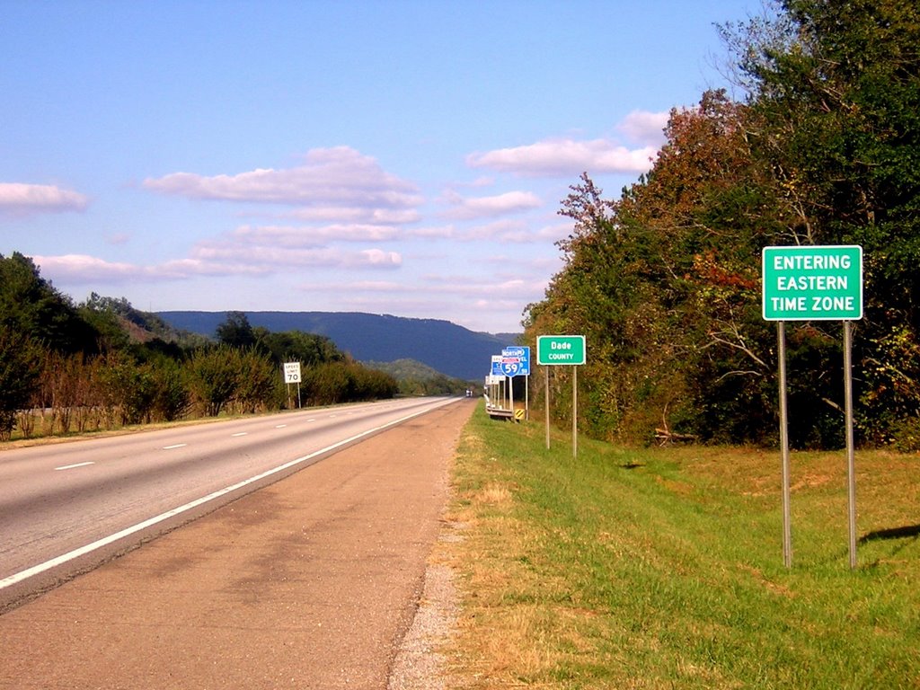
Other photos taken by Kyle Stephen Smith


