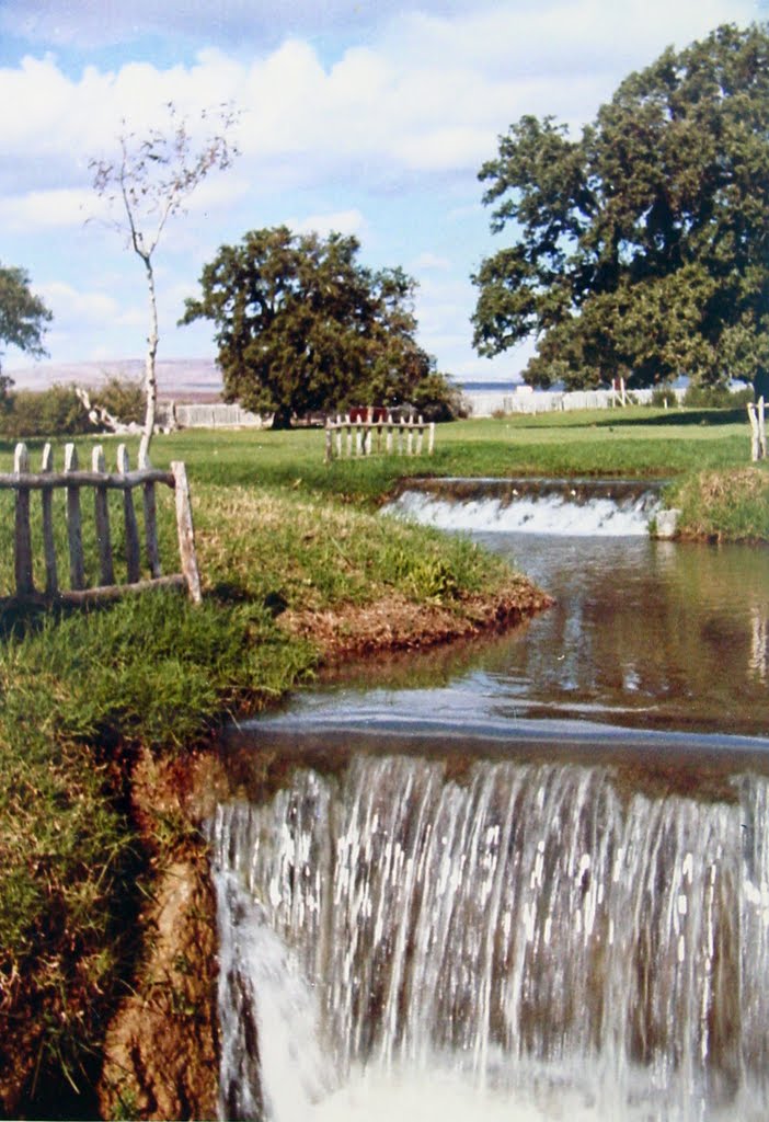
ISRAËL: Hurshat Tal חורשת טל National Park next to kibbutz HaGoshrim 1966 Upper Gallilee עמק החולה 1966 ישראל
A photo taken by NellvdBoschLevendig at the location מועצה אזורית גליל עליון with coordinates [33.222062, 35.628287]. Additionally, you might be interested in finding other photos captured by different users near מועצה אזורית גליל עליון. Both sets of images could provide a richer perspective of the area and showcase various moments in time.

Near Photos
Near Photos of מועצה אזורית גליל עליון at [33.222062, 35.628287]
NellvdBoschLevendig's Other Photos
Other photos taken by NellvdBoschLevendig


