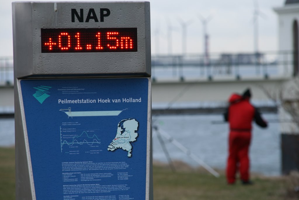
Tide gauge Hoek van Holland, showing the flood heighth of the Nieuwe Waterweg (New Waterway): 1,15 metre above average sea level (NAP)
A photo taken by Martin van den Bogae… at the location Hoek van Holland with coordinates [51.978194, 4.11898]. Additionally, you might be interested in finding other photos captured by different users near Hoek van Holland. Both sets of images could provide a richer perspective of the area and showcase various moments in time.

Near Photos
Near Photos of Hoek van Holland at [51.978194, 4.11898]
Martin van den Bogae…'s Other Photos
Other photos taken by Martin van den Bogae…


