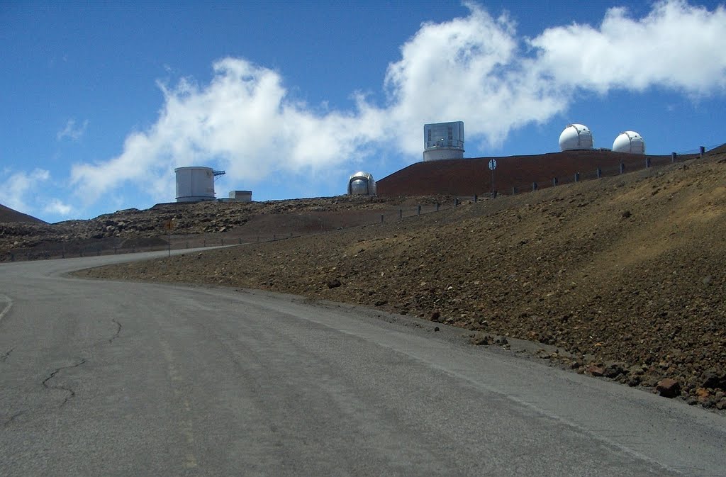
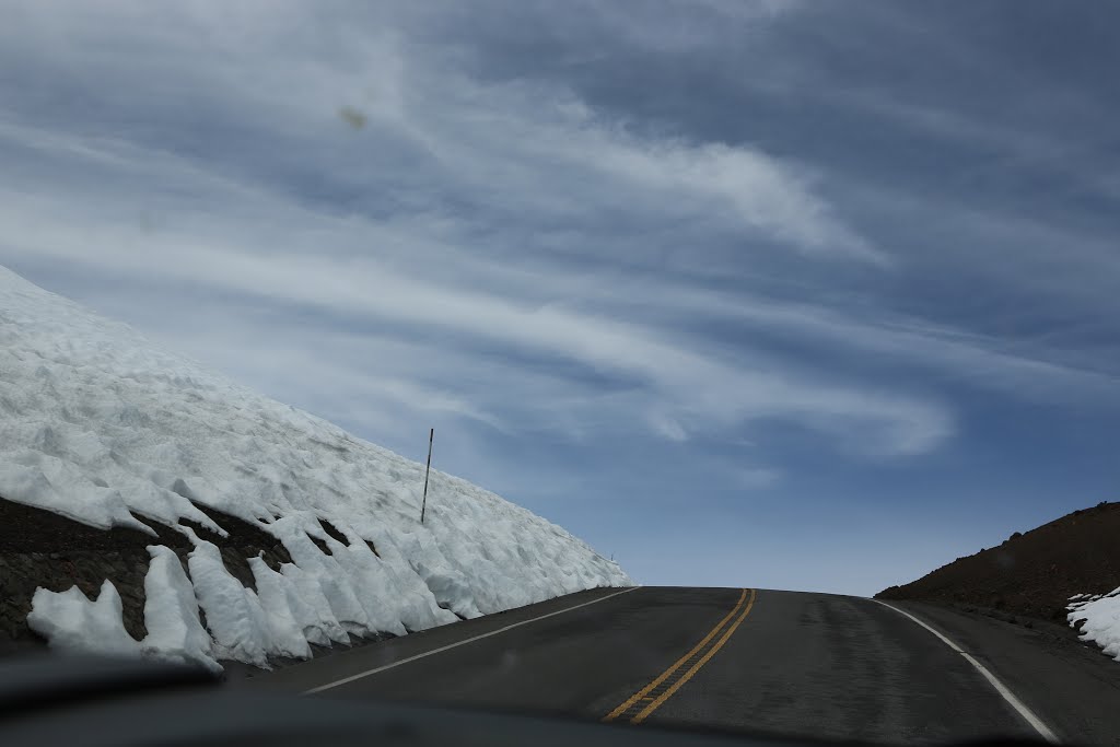
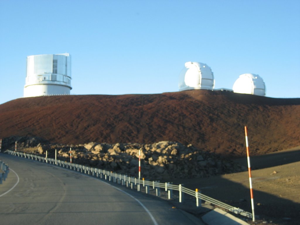
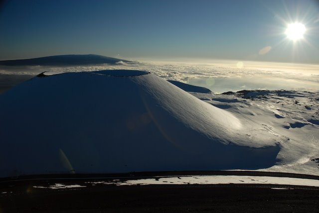
John A Burns Way (Mauna Kea Access Road) approaching the summit loop. 2007-06-11
A photo taken by deanstucker at the location Hawaiʻi County with coordinates [19.817673, -155.473291]. Additionally, you might be interested in finding other photos captured by different users near Hawaiʻi County. Both sets of images could provide a richer perspective of the area and showcase various moments in time.

Near Photos
Near Photos of Hawaiʻi County at [19.817673, -155.473291]
deanstucker's Other Photos
Other photos taken by deanstucker


