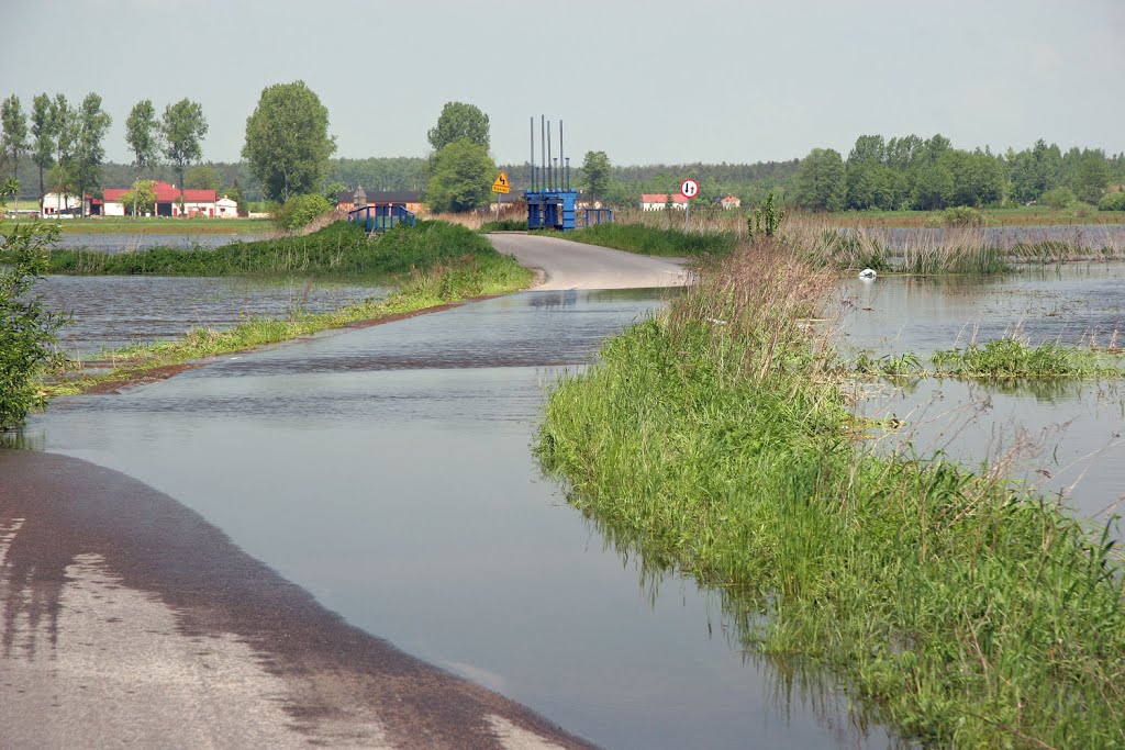
Droga Bronno-Łęka / powódz 21 maja 2010 roku
A photo taken by ksp01marek at the location gmina Łęczyca with coordinates [52.066983, 19.065646]. Additionally, you might be interested in finding other photos captured by different users near gmina Łęczyca. Both sets of images could provide a richer perspective of the area and showcase various moments in time.

Near Photos
Near Photos of gmina Łęczyca at [52.066983, 19.065646]
ksp01marek's Other Photos
Other photos taken by ksp01marek


