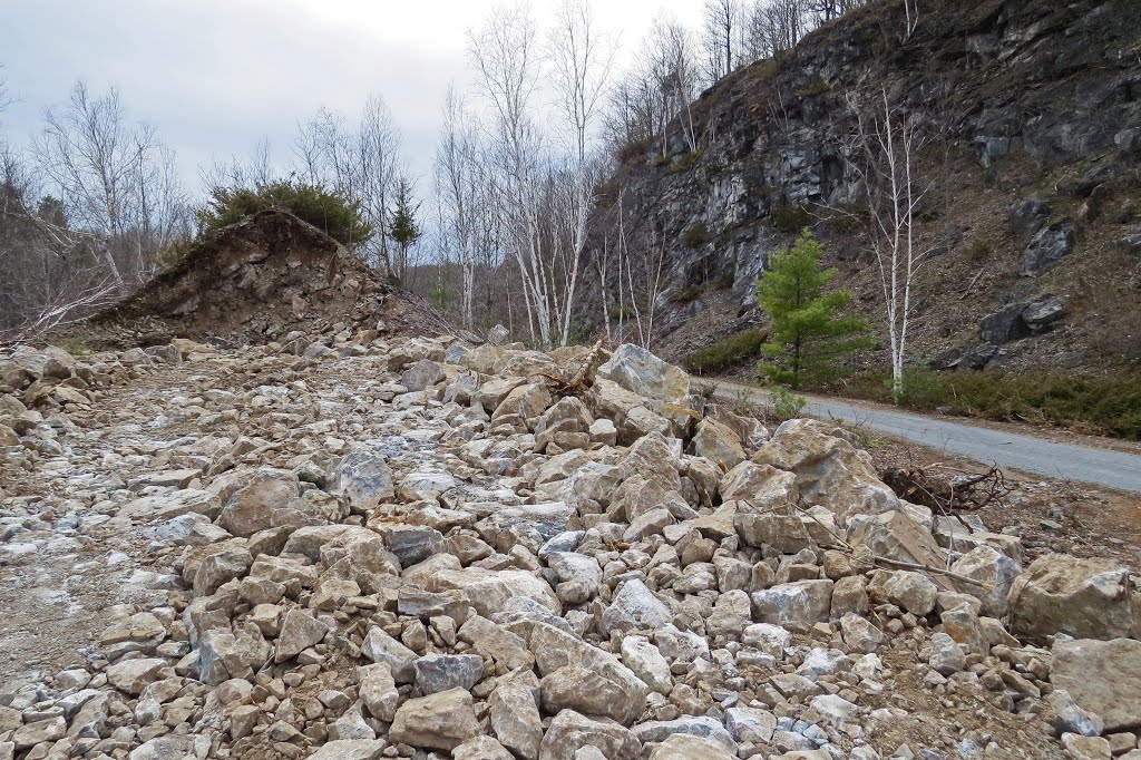
Crystalline marble rock from one of the largest landslides in southern Ontario that occured on the right side of the trail about 1914 is exposed as some is used for repair work to the Cataraqui Trail, by the Cataraqui Region Conservation Authority. The CNoR rainway and trail are built along an ancient 10 km. long fault line with uplifted granite on the west side.
A photo taken by Steve Manders at the location Ontario with coordinates [44.510891, -76.424203]. Additionally, you might be interested in finding other photos captured by different users near Ontario. Both sets of images could provide a richer perspective of the area and showcase various moments in time.

Near Photos
Near Photos of Ontario at [44.510891, -76.424203]
Steve Manders's Other Photos
Other photos taken by Steve Manders


