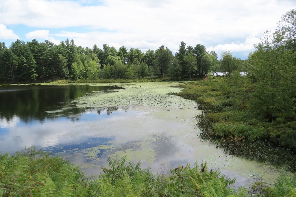
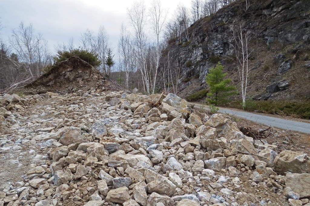
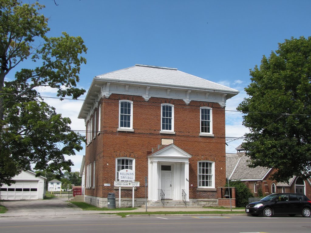
A canal was dug from a mine on the east shore of Upper Rock Lake, to Stonehouse Lake in the background, to this pond and to continuing on the lower right to bring phosphate ore to the CNoR rail siding here in 1910. The CNoR had just been built from Napanee to Ottawa. Phosphate was used as fertilizer. It did not last long.
A photo taken by Steve Manders at the location Ontario with coordinates [44.511319, -76.423516]. Additionally, you might be interested in finding other photos captured by different users near Ontario. Both sets of images could provide a richer perspective of the area and showcase various moments in time.

Near Photos
Near Photos of Ontario at [44.511319, -76.423516]
Steve Manders's Other Photos
Other photos taken by Steve Manders


