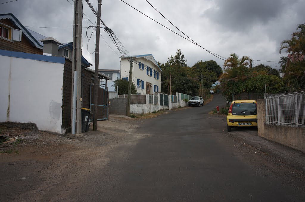
2016-10-13_12-12-35 -21.277658,55.499094 13 BIS che adam de villiers 97430 Le Tampon Parcelle : 000 / BW / 1155 Altitude : 435.55 m
A photo taken by Jean Thevenet at the location Le Tampon with coordinates [-21.277736, 55.499041]. Additionally, you might be interested in finding other photos captured by different users near Le Tampon. Both sets of images could provide a richer perspective of the area and showcase various moments in time.

Near Photos
Near Photos of Le Tampon at [-21.277736, 55.499041]
We don't have any pictures...
Jean Thevenet's Other Photos
Other photos taken by Jean Thevenet


