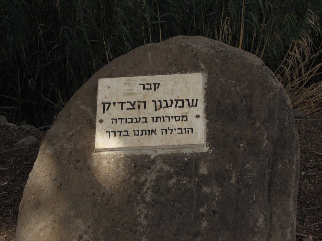
קבר שמעון, החמור הצדיק
A photo taken by yochays at the location מועצה אזורית עמק הירדן with coordinates [32.698353, 35.561581]. Additionally, you might be interested in finding other photos captured by different users near מועצה אזורית עמק הירדן. Both sets of images could provide a richer perspective of the area and showcase various moments in time.

Near Photos
Near Photos of מועצה אזורית עמק הירדן at [32.698353, 35.561581]
We don't have any pictures...
yochays's Other Photos
Other photos taken by yochays


